
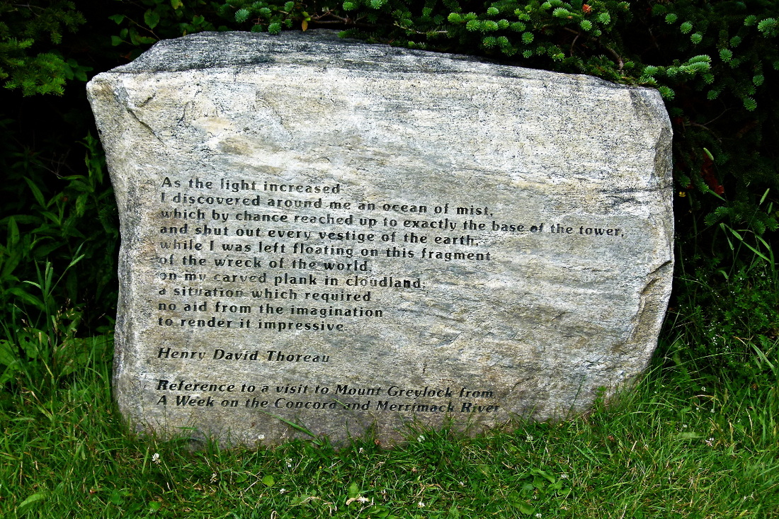
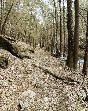
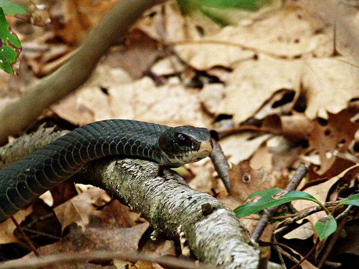
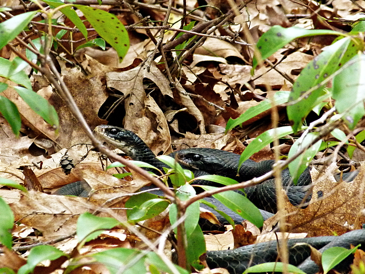
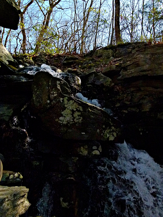
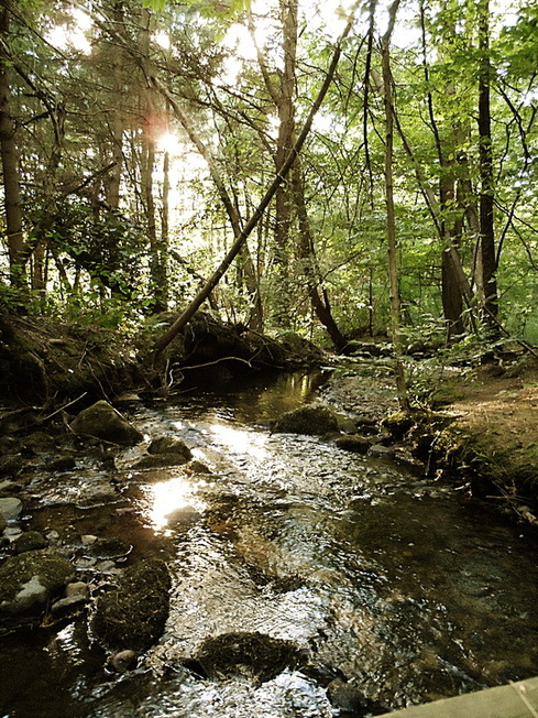
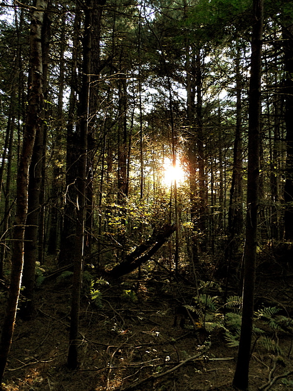
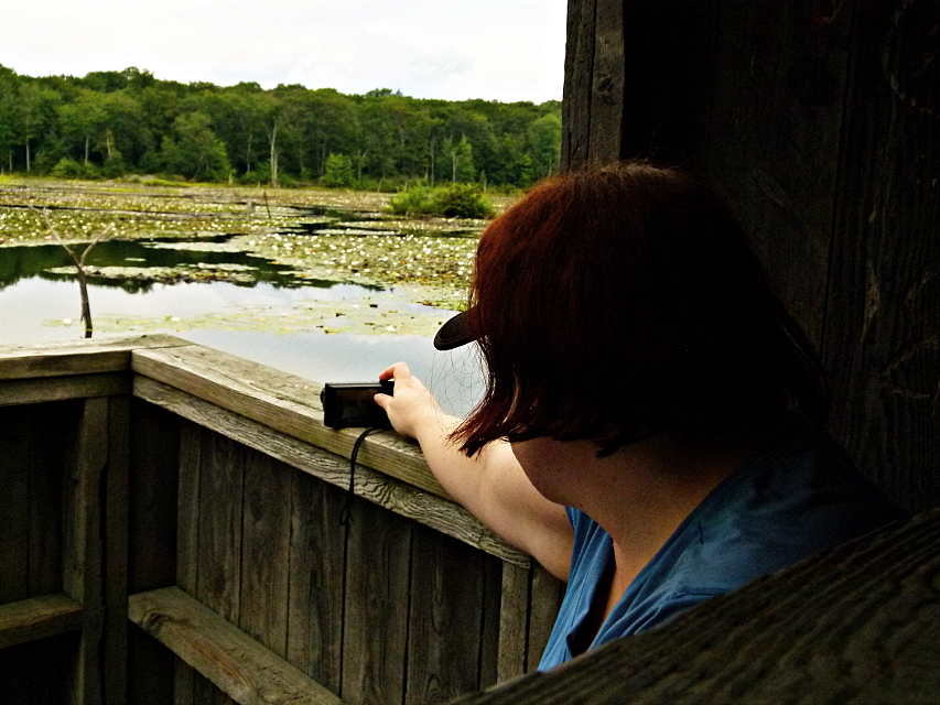
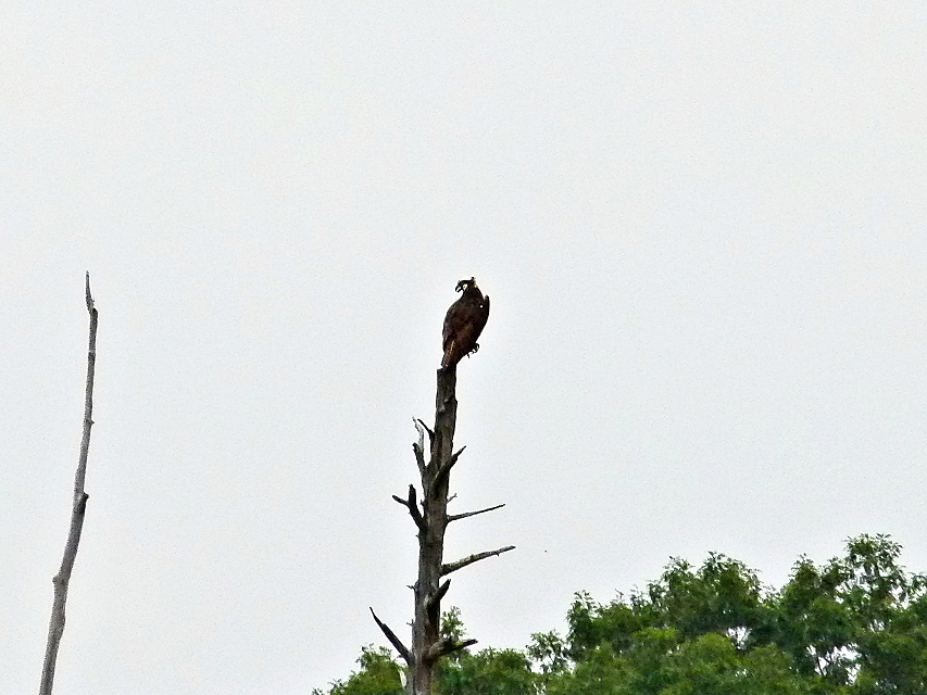
First impression of this trail was that it has to be one of the more under appreciated in the CT Walk Book. Aside from the short stretch paralleling Rt. 8 on the west side, it was a very quiet, peaceful walk. On such a beautiful October Sunday, it was somewhat surprising to not encounter anyone else out there.
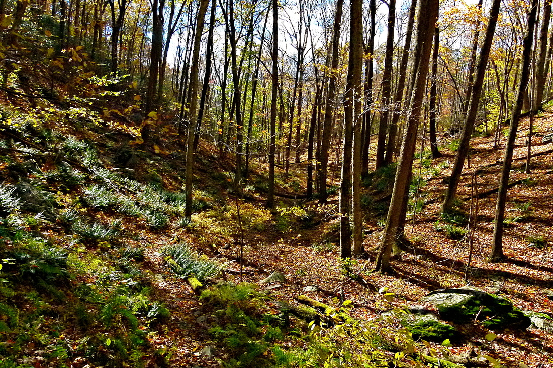
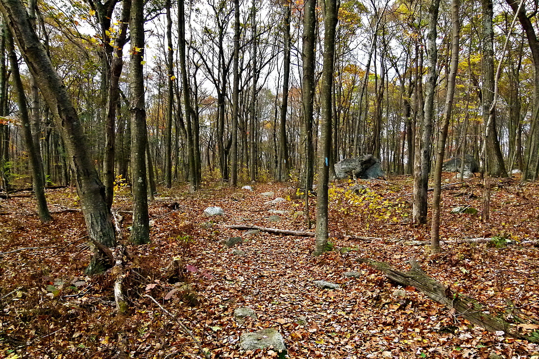
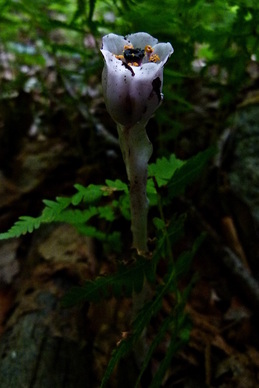
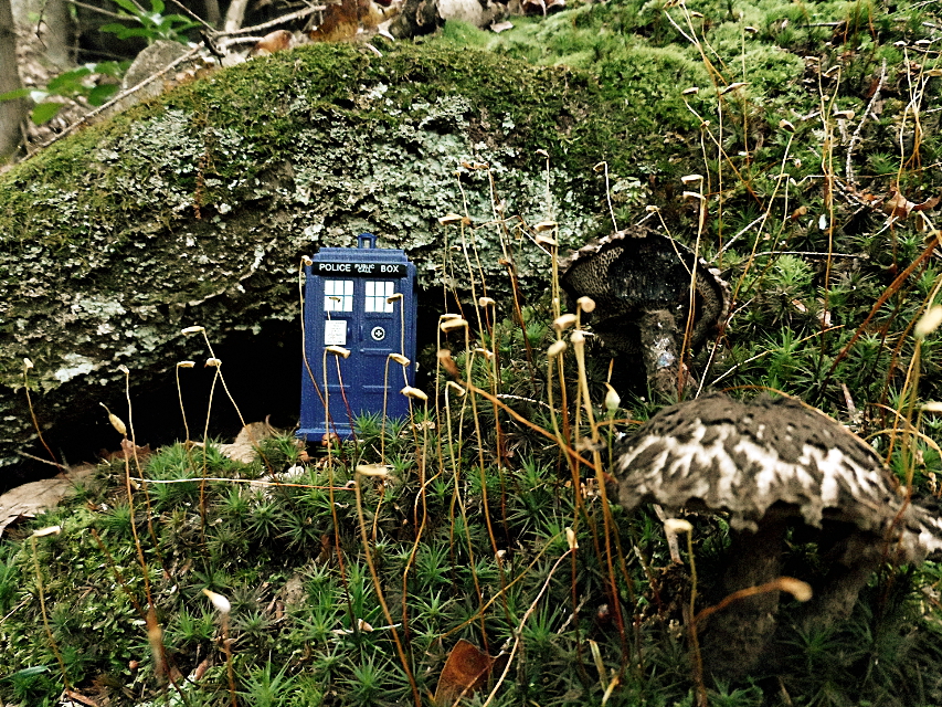
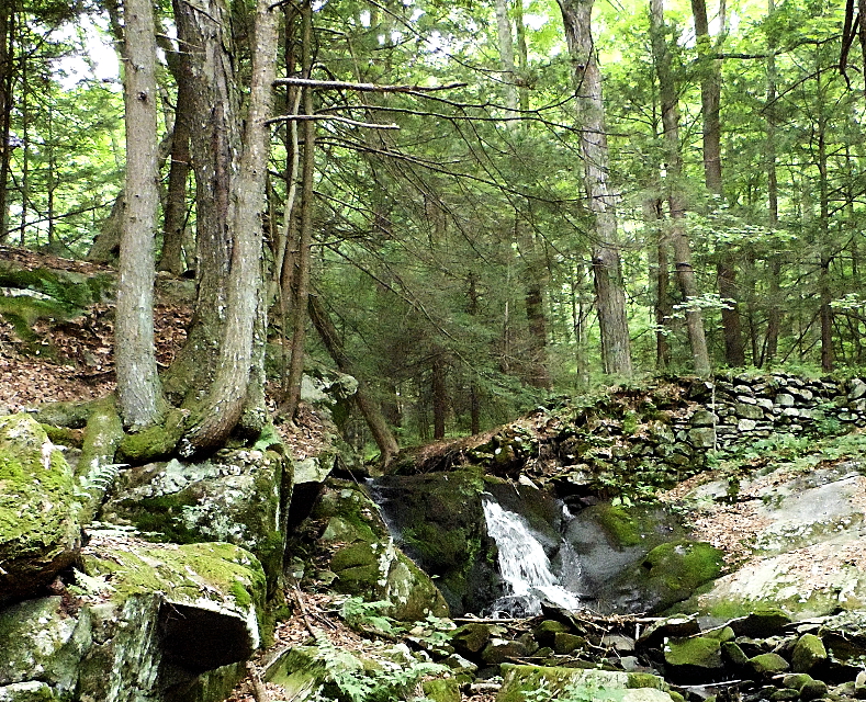
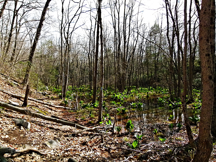
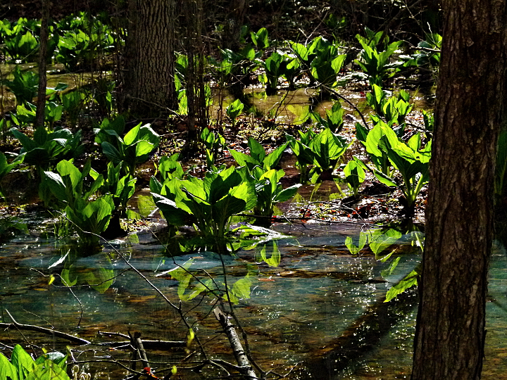
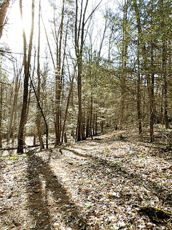
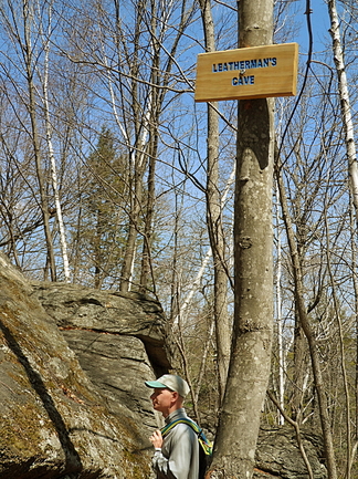
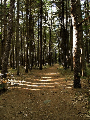
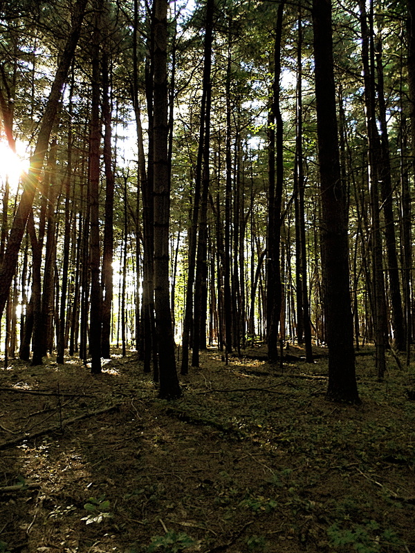
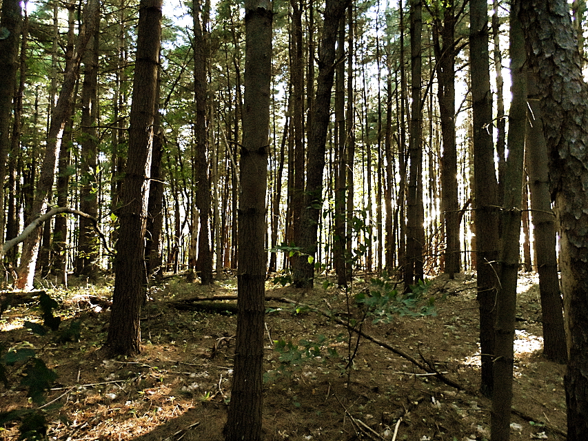
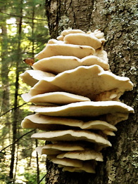
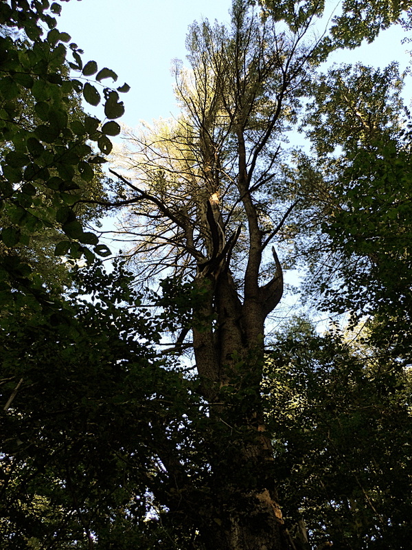
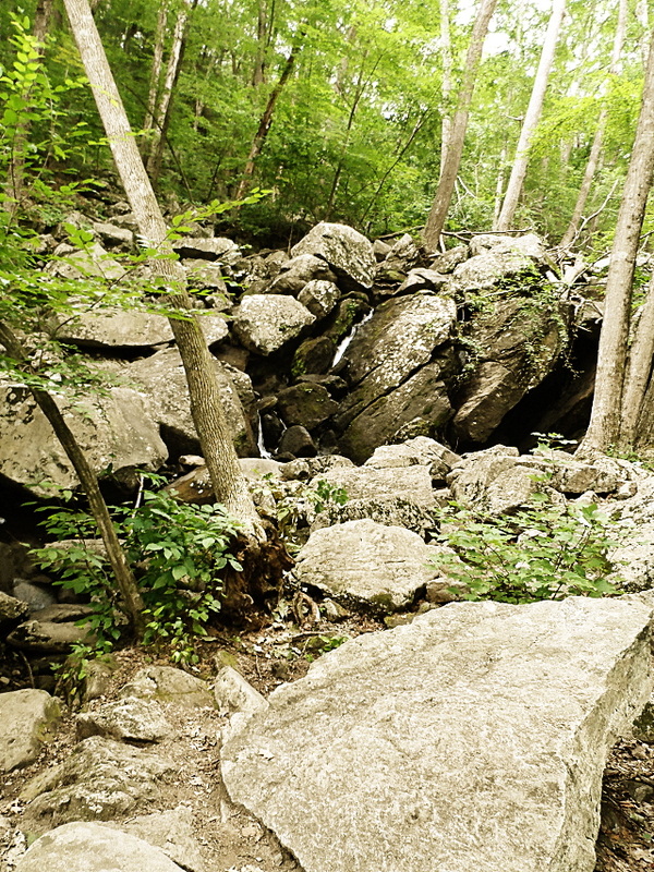
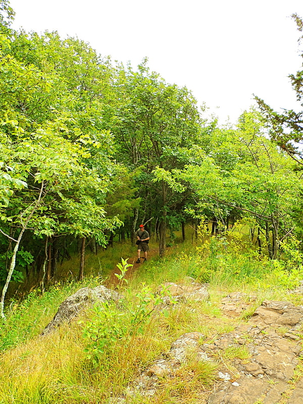
Once you’re past the ascents at either end, most of the trail gradually meanders through a mature deciduous forest - very quintessentially New England with lots of oaks, tulip trees, sassafras, maples, beeches, and birches, all perforated by old stone walls. This late into October after over a week of typically windy, rainy days, many trees were already bare, but the beeches and oaks still stubbornly clung to their leaves.
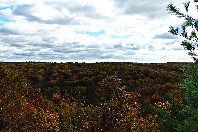
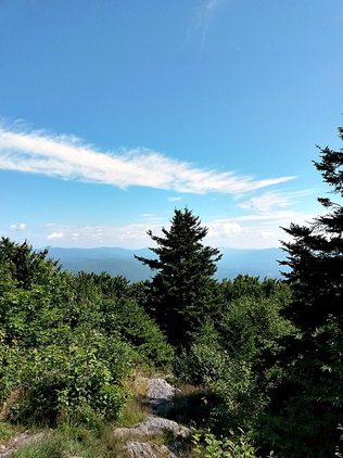
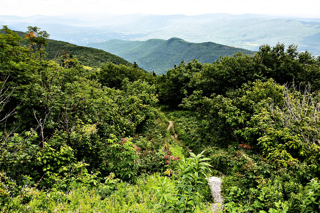
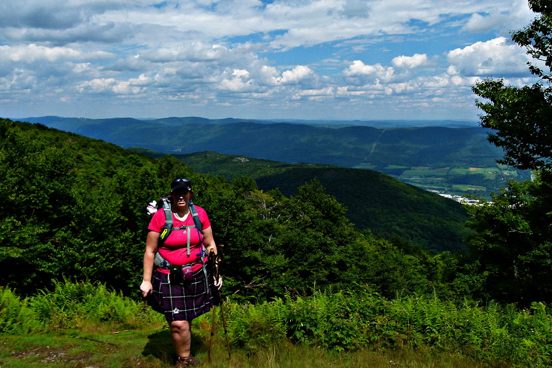
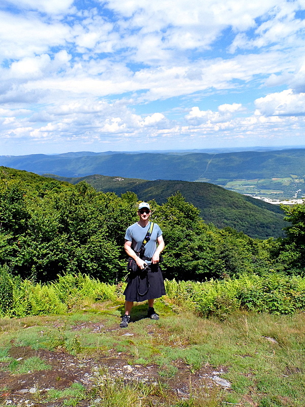
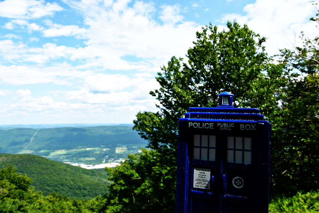
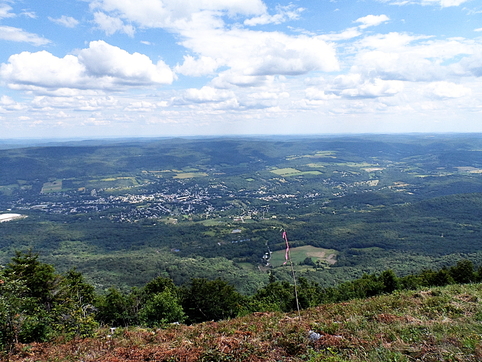
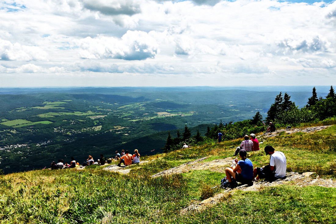
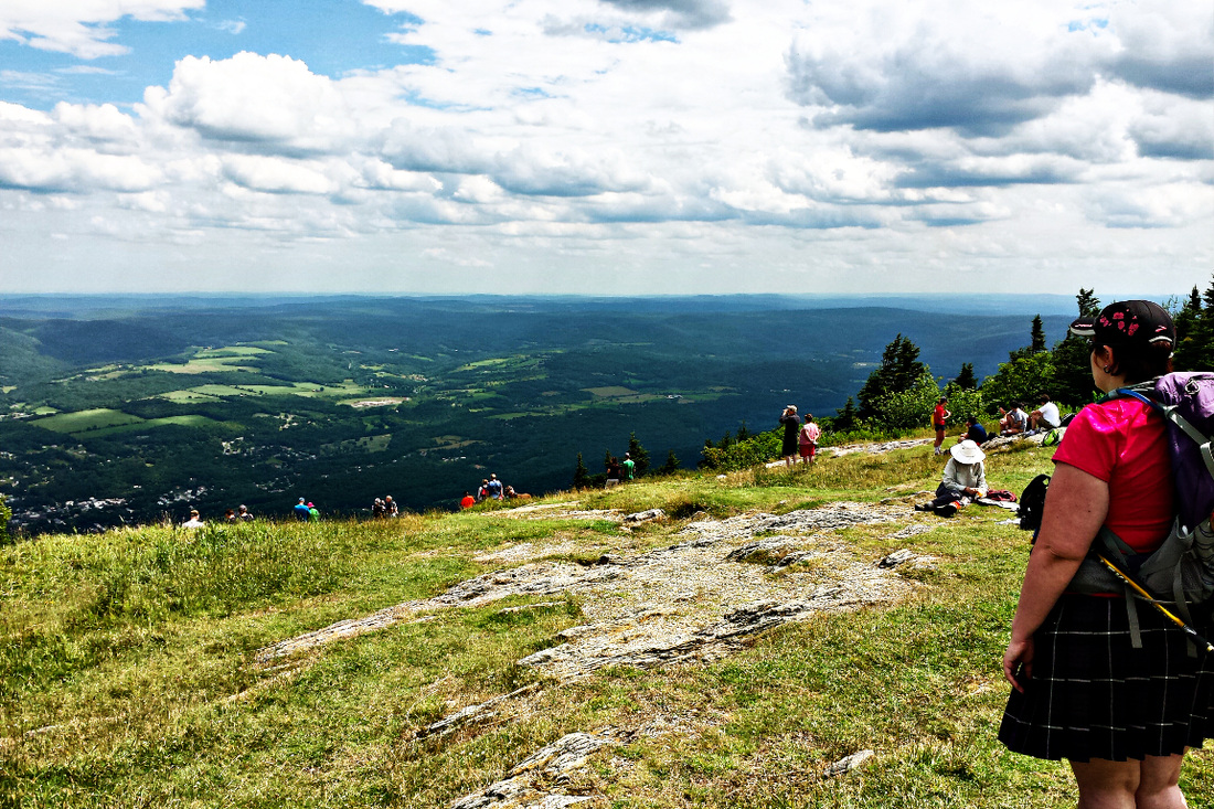
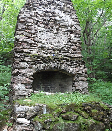
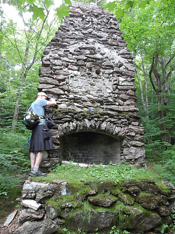
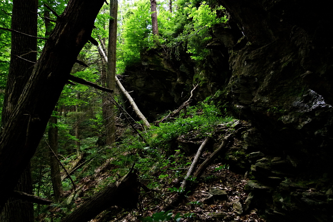
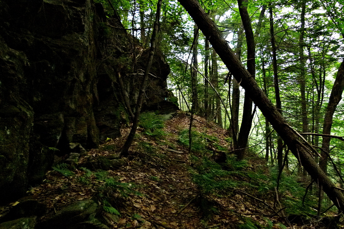
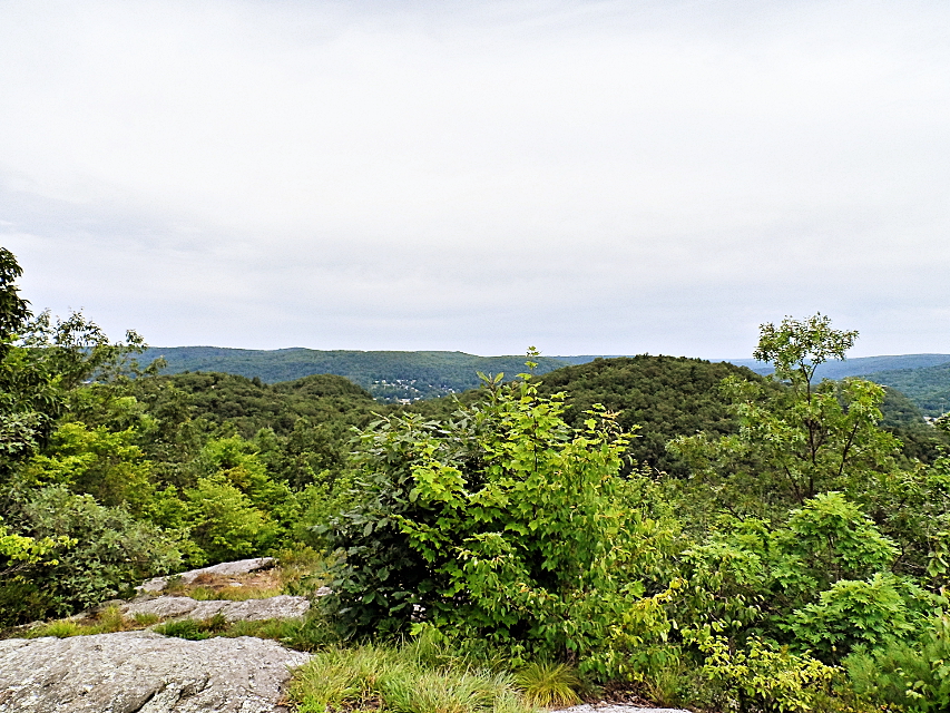
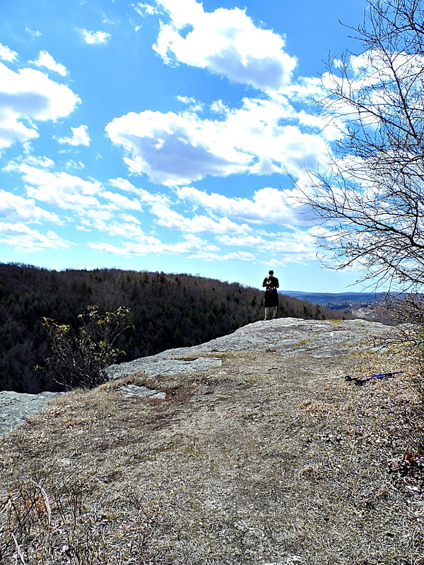
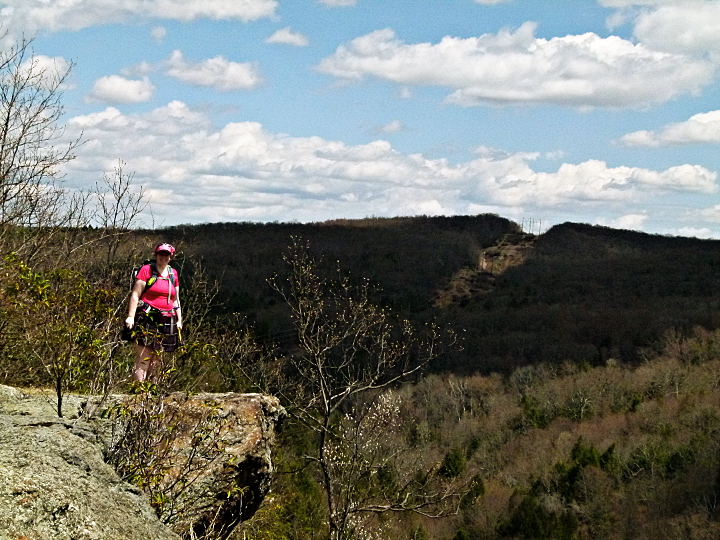
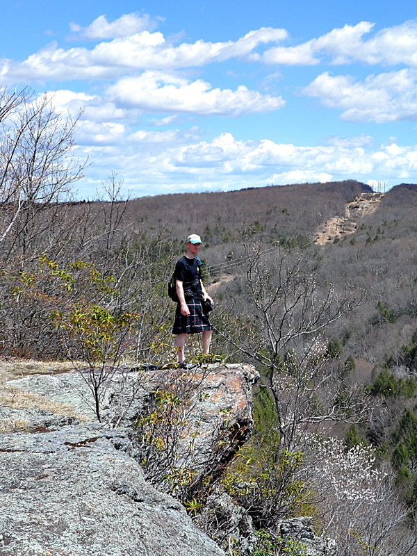
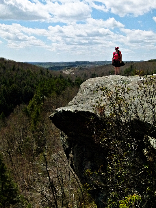
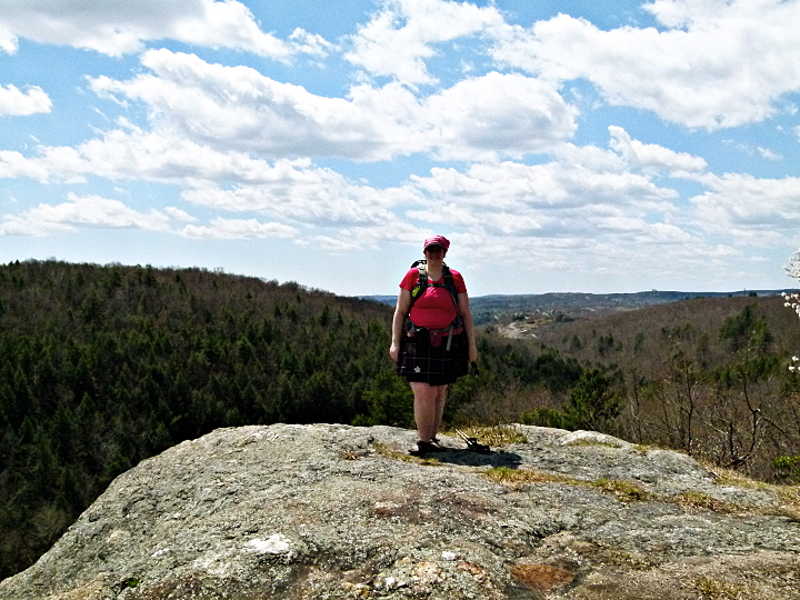
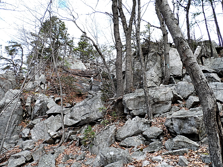
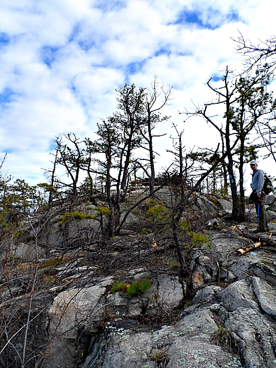
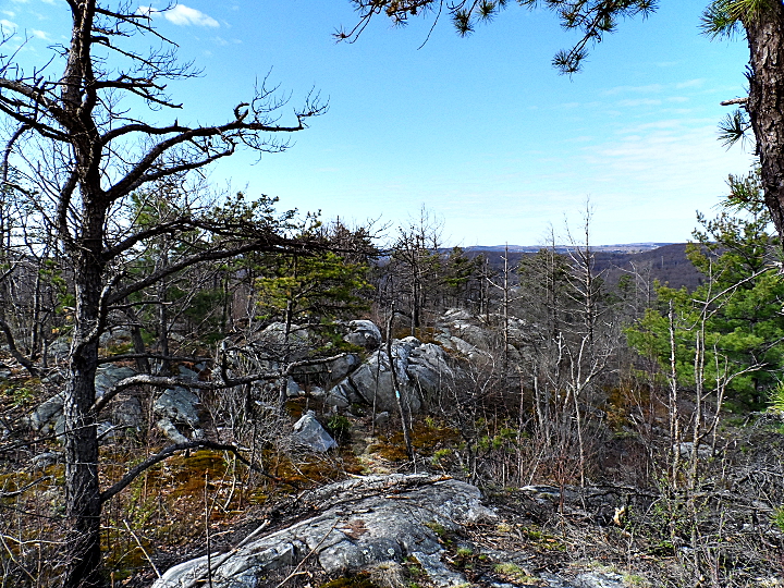
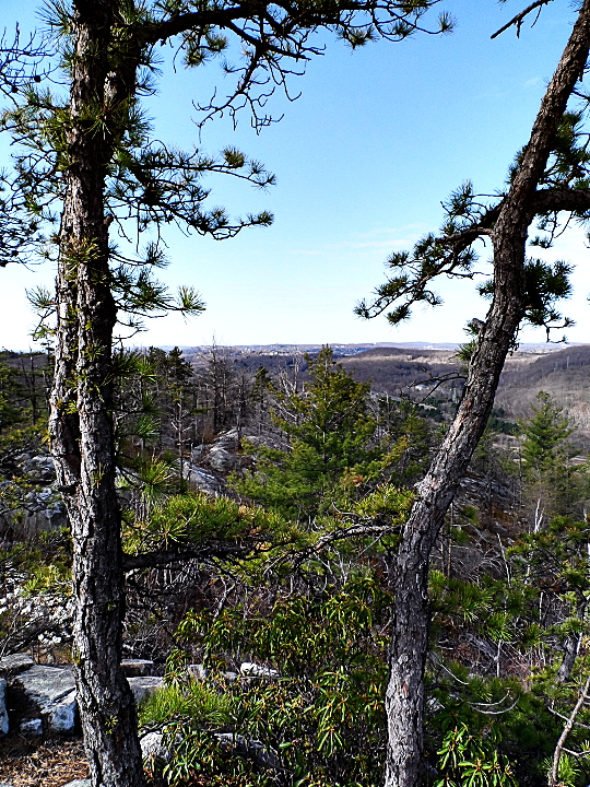
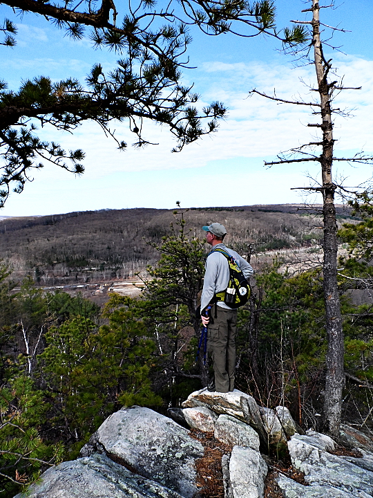
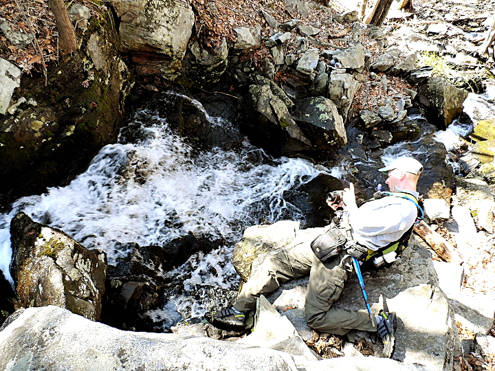
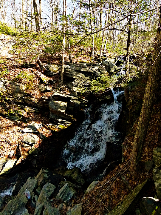
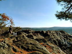
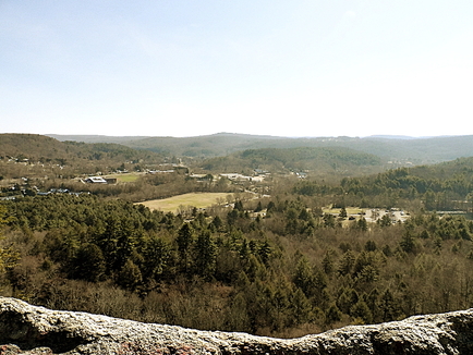
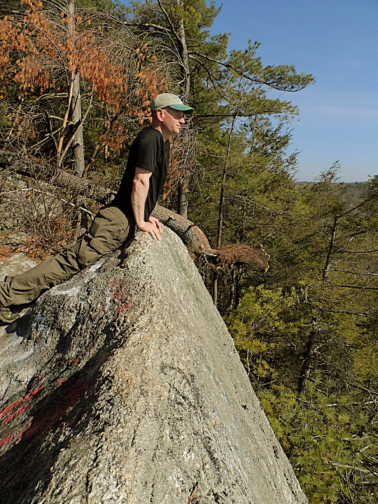
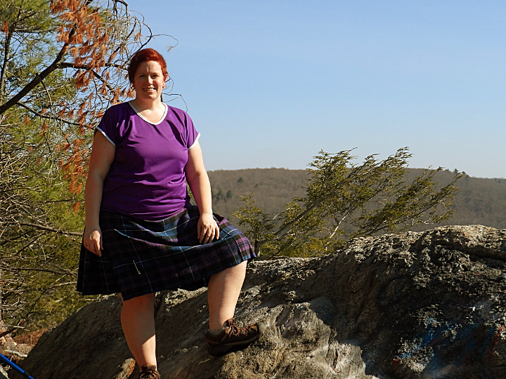
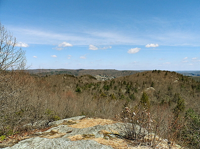
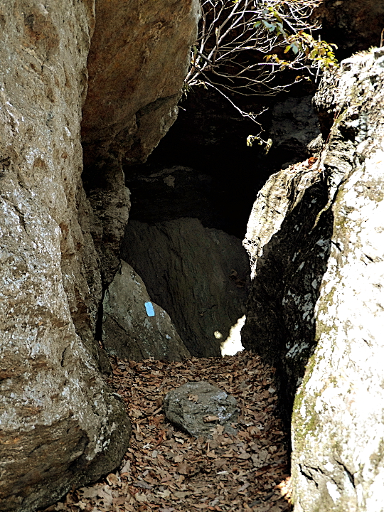
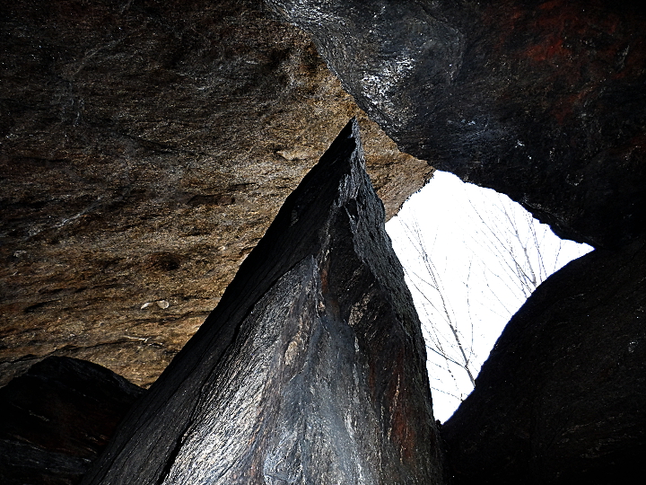
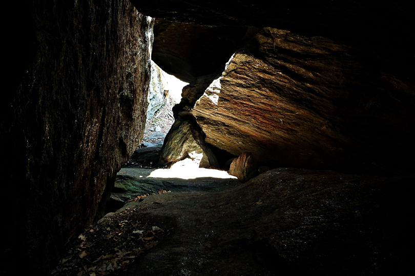
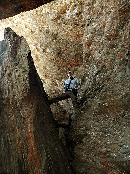
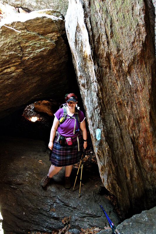
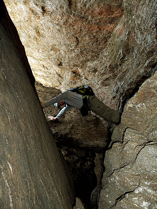
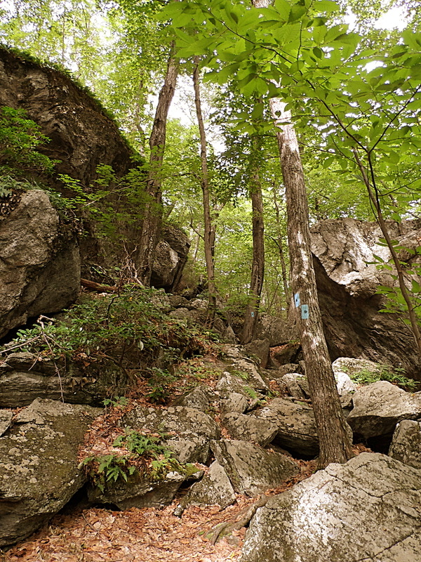
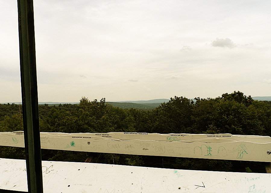
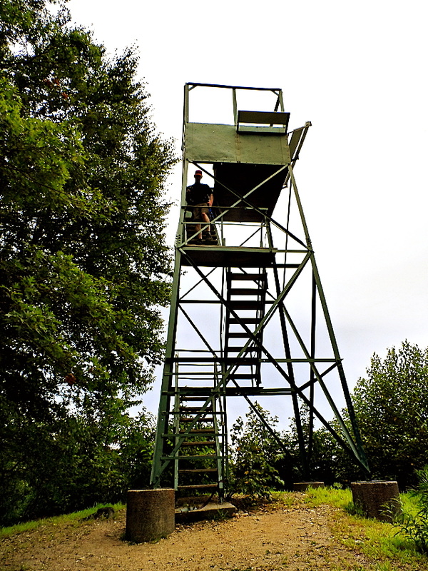
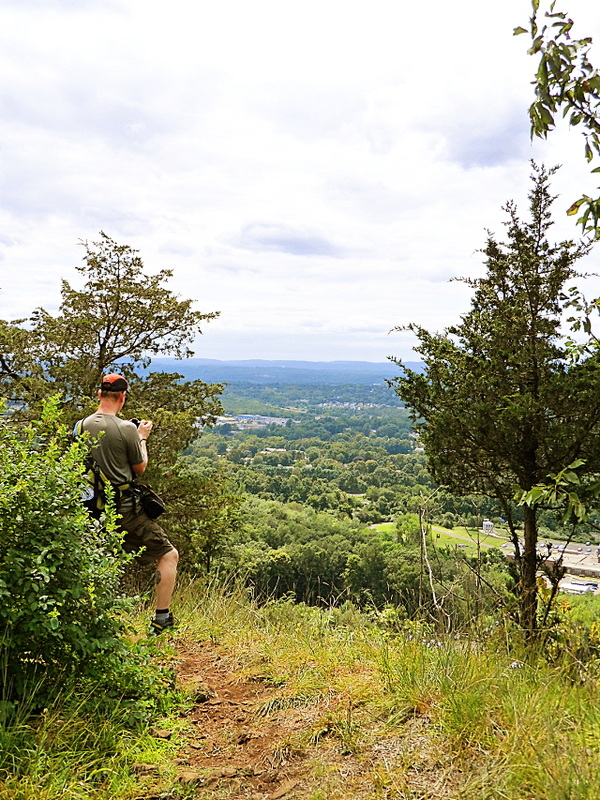
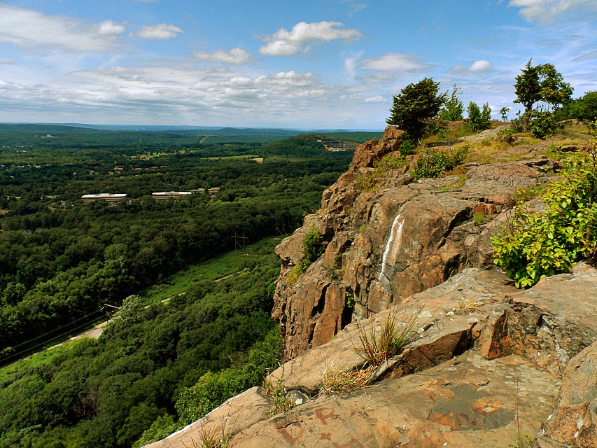
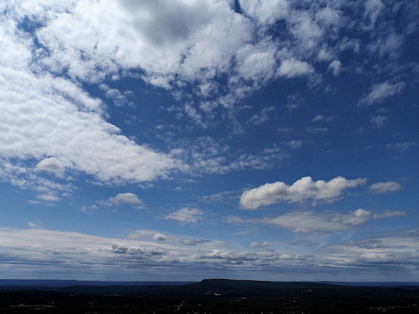
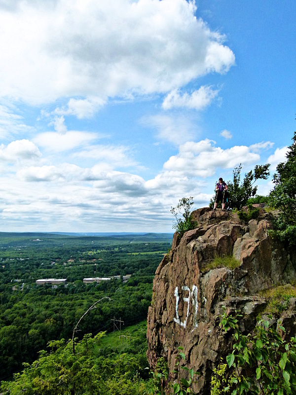
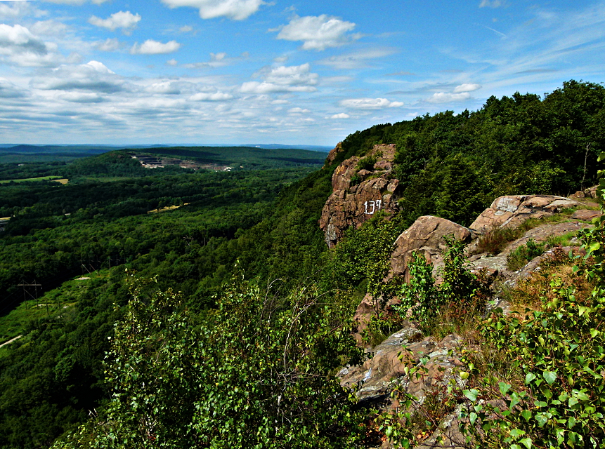
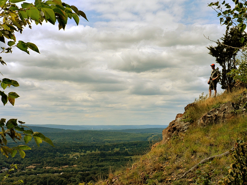
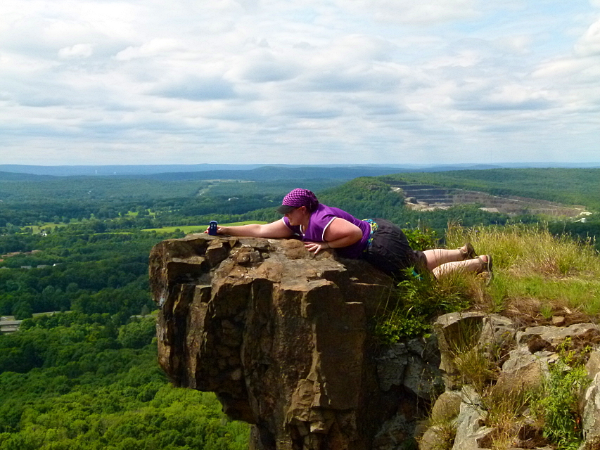
The Beacon Cap Trail, although probably the most rugged part of the whole hike, offered the best overlooks, and compared to other trails, wasn't all that difficult.
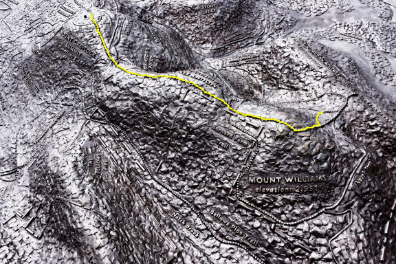
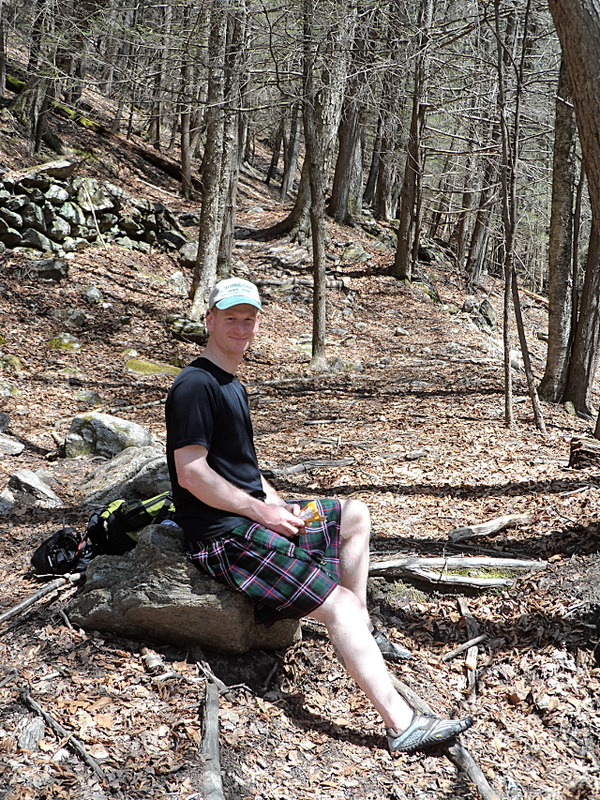
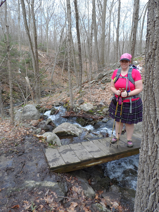
We chose to hike it in the opposite direction as described in the book, looping around with the Whittemore Trail for a nice “lollipop” hike of about 11 miles including the spur trails. Using the Andrasko Rd parking felt like we were using the back entrance, but it turned out to be a good approach. The slopes on the west end and Whittemore Trail were more gradual than the east end. Having the most rugged part in the middle made for a nicely balanced hike, but be careful walking along Rt 42 between the two parking areas because there is little or no shoulder. You can check it out with Google street view, and get a preview of the parking on that side too.
Once you’re past the ascents at either end, most of the trail gradually meanders through a mature deciduous forest - very quintessentially New England with lots of oaks, tulip trees, sassafras, maples, beeches, and birches, all perforated by old stone walls. This late into October after over a week of typically windy, rainy days, many trees were already bare, but the beeches and oaks still stubbornly clung to their leaves.
The Beacon Cap Trail, although probably the most rugged part of the whole hike, offered the best overlooks, and compared to other trails, wasn't all that difficult.
We chose to hike it in the opposite direction as described in the book, looping around with the Whittemore Trail for a nice “lollipop” hike of about 11 miles including the spur trails. Using the Andrasko Rd parking felt like we were using the back entrance, but it turned out to be a good approach. The slopes on the west end and Whittemore Trail were more gradual than the east end. Having the most rugged part in the middle made for a nicely balanced hike, but be careful walking along Rt 42 between the two parking areas because there is little or no shoulder. You can check it out with Google street view, and get a preview of the parking on that side too.


 RSS Feed
